Aerial LIDAR Survey
January 6, 20170
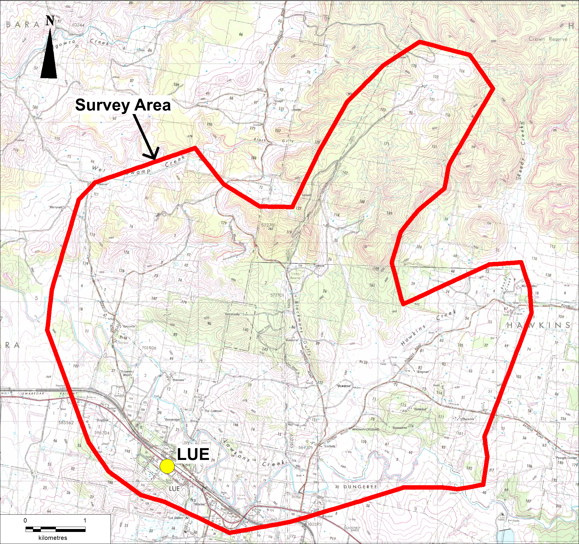
Bowdens Silver will be conducting an aerial LIDAR (Light Detection & Ranging) survey that is due to commence on the 6th of January 2017 and is planned to be completed by the 9th of January 2017.
The survey will be completed by a VulcanAir light aircraft flying at approximately 700 metres above ground level. The purpose of this survey is to map the contours of the surface area to within 100mm accuracy in order to help us progress with our indicative mine site planning.
The map below shows the flight area to be flown.

